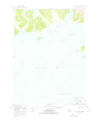
1950 Map of Cordova C-7
USGS Topo · Published 1976About this map
The deep waters and sheltered inlets of the Orca Bay and Port Gravina coastline define this maritime environment within the Chugach National Forest. Coastal geography is detailed through numerous bays and coves, including the notably named Hells Hole and the protective Snug Corner Cove. To the south, the northern tip of Hawkins Island is visible, featuring Makaka Pt and a series of trails that indicate human movement along the shoreline during this mid-century period.
Find a feature on this map
15 named features on this map. Tap any name to fly to it.
Don’t see what you’re looking for? This feature index may not catch every label — zoom into the map to look around manually.
Map Details
Editions of this 1950 Cordova C-7 Map
4 editions found
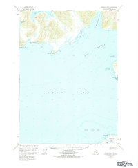
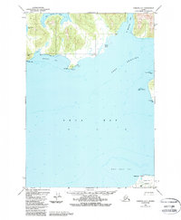
Other maps of this area

1948 · Cordova
USGS Topo · 1:250,000

1950 · Cordova C-7
USGS Topo · 1:63,360

1950 · Cordova C-6
USGS Topo · 1:63,360

1950 · Cordova B-7
USGS Topo · 1:63,360

1950 · Cordova D-7
USGS Topo · 1:63,360

1950 · Cordova C-8
USGS Topo · 1:63,360

1951 · Cordova
USGS Topo · 1:250,000

1951 · Cordova D-8
USGS Topo · 1:63,360

1951 · Cordova D-6
USGS Topo · 1:63,360

1951 · Cordova B-8
USGS Topo · 1:63,360