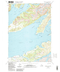
1950 Map of Cordova C-6
USGS Topo · Published 1988About this map
Port Gravina and Sheep Bay dominate this coastal survey of the Chugach National Forest region, reflecting the intricate maritime geography of Prince William Sound as recorded in 1950. The landscape is defined by its deep fjords and narrow waterways, including Canoe Passage and the southern reaches of Orca Bay. These waters were vital for navigation and access to the interior, where features like Sahlin Falls and Sahlin Lake are tucked into the steep coastal drainages. Notable maritime landmarks such as Gatherer Rock and Piledriver Rock served as essential navigational markers for those traversing Orca Inlet. Small coves like Comfort Cove and Whiskey Cove provide evidence of the sheltered anchorages that supported local activity along these shores. This 1:63,360 scale study, updated with mid-1980s data, documents the persistent natural character of the Alaskan coastline before modern development altered its remote reaches.
Find a feature on this map
41 named features on this map. Tap any name to fly to it.
Don’t see what you’re looking for? This feature index may not catch every label — zoom into the map to look around manually.
Map Details
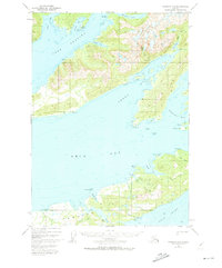
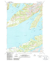
Editions of this 1950 Cordova C-6 Map
4 editions found
Other maps of this area

1948 · Cordova
USGS Topo · 1:250,000

1950 · Cordova C-7
USGS Topo · 1:63,360

1950 · Cordova C-6
USGS Topo · 1:63,360

1950 · Cordova B-7
USGS Topo · 1:63,360

1950 · Cordova D-7
USGS Topo · 1:63,360

1950 · Cordova D-5
USGS Topo · 1:63,360

1951 · Cordova
USGS Topo · 1:250,000

1951 · Cordova C-5
USGS Topo · 1:63,360

1951 · Cordova B-5
USGS Topo · 1:63,360

1951 · Cordova D-6
USGS Topo · 1:63,360