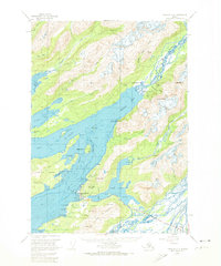
1951 Map of Cordova C-5
USGS Topo · Published 1974About this map
Cordova serves as the focal point of this coastal survey, situated at the edge of Orca Inlet where the waters of Prince William Sound meet the foot of the Heney Range. The landscape is dominated by the transition from deep water channels like Odiak Channel and Orca Channel to the towering peaks of Mt Eyak and Snyder Mtn. The presence of a Cem and a Cannery at Shepard Pt illustrates the early industrial and social foundations of this Alaskan port.
Find a feature on this map
69 named features on this map. Tap any name to fly to it.
Don’t see what you’re looking for? This feature index may not catch every label — zoom into the map to look around manually.
Map Details
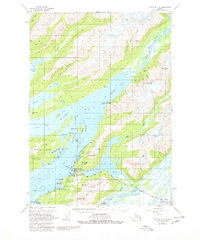
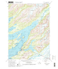
Editions of this 1951 Cordova C-5 Map
4 editions found
Other maps of this area

1948 · Cordova
USGS Topo · 1:250,000

1950 · Cordova C-6
USGS Topo · 1:63,360

1950 · Cordova C-4
USGS Topo · 1:63,360

1950 · Cordova D-5
USGS Topo · 1:63,360

1951 · Cordova
USGS Topo · 1:250,000

1951 · Cordova B-4
USGS Topo · 1:63,360

1951 · Cordova C-5
USGS Topo · 1:63,360

1951 · Cordova B-5
USGS Topo · 1:63,360

1951 · Cordova D-6
USGS Topo · 1:63,360

1951 · Cordova D-4
USGS Topo · 1:63,360