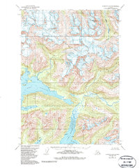
1951 Map of Cordova D-6
USGS Topo · Published 1987About this map
Chugach National Forest encompasses the wild, glaciated coastal landscape of Southcentral Alaska in this 1951 survey, revised through the mid-1980s. The map centers on the deep, intricate fingers of Prince William Sound, notably Port Fidalgo and Port Gravina. The terrain is dominated by steep coastal peaks like Meteorite Mtn, where numerous unnamed glaciers and snowfields feed a network of drainages such as Brown Creek and the Gravina River.
Find a feature on this map
14 named features on this map. Tap any name to fly to it.
Don’t see what you’re looking for? This feature index may not catch every label — zoom into the map to look around manually.
Map Details
Editions of this 1951 Cordova D-6 Map
3 editions found
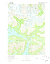
Other maps of this area

1948 · Cordova
USGS Topo · 1:250,000

1950 · Cordova C-7
USGS Topo · 1:63,360

1950 · Cordova C-6
USGS Topo · 1:63,360

1950 · Cordova D-7
USGS Topo · 1:63,360

1950 · Cordova D-5
USGS Topo · 1:63,360

1951 · Cordova
USGS Topo · 1:250,000

1951 · Cordova C-5
USGS Topo · 1:63,360

1951 · Cordova D-6
USGS Topo · 1:63,360

1951 · Valdez A-6
USGS Topo · 1:63,360

1952 · Valdez
USGS Topo · 1:250,000