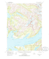
1950 Map of Cordova D-7
USGS Topo · Published 1986About this map
Silver Glacier dominates the central landscape of this coastal Alaskan region, where the glacial ice meets the rugged waters of Port Fidalgo. The 1950 topography reveals a wilderness defined by water and rock, with deep inlets like Landlocked Bay and Galena Bay carving into the mountainous terrain of the Chugach National Forest. Evidence of early industrial activity is visible near the coast, notably a Mine located between Millard Lake and Copper Lake.
Find a feature on this map
40 named features on this map. Tap any name to fly to it.
Don’t see what you’re looking for? This feature index may not catch every label — zoom into the map to look around manually.
Map Details
Editions of this 1950 Cordova D-7 Map
3 editions found
Other maps of this area

1948 · Cordova
USGS Topo · 1:250,000

1950 · Cordova C-7
USGS Topo · 1:63,360

1950 · Cordova C-6
USGS Topo · 1:63,360

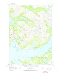
1950 · Cordova D-7
USGS Topo · 1:63,360

1950 · Cordova C-8
USGS Topo · 1:63,360

1951 · Cordova
USGS Topo · 1:250,000

1951 · Cordova D-8
USGS Topo · 1:63,360

1951 · Cordova D-6
USGS Topo · 1:63,360

1951 · Valdez A-6
USGS Topo · 1:63,360

1952 · Valdez
USGS Topo · 1:250,000