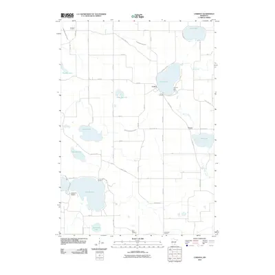
2010 Map of Cordova
USGS Topo · Published 2010About this map
Cordova sits at the heart of this landscape, a settlement positioned near the southern shores of Gorman Lake. The geography is defined by a dense concentration of glacial lakes and an extensive network of managed drainage, including County Ditch Number Fifty and County Ditch Number Sixtyfour. These channels, alongside the winding Cannon River, illustrate the long-term efforts to manage the water table for the surrounding agricultural lands. Notable landmarks like the Gorman Lake Dam show the modification of the natural hydrology to support the local community.
Find a feature on this map
48 named features on this map. Tap any name to fly to it.
Don’t see what you’re looking for? This feature index may not catch every label — zoom into the map to look around manually.
Map Details
Editions of this 2010 Cordova Map
This is the sole edition of this map. No revisions or reprints were ever made.
Other maps of this area

1950 · Mankato East
USGS Topo · 1:62,500

1951 · Mankato East
USGS Topo · 1:62,500

1953 · Saint Paul
USGS Topo · 1:250,000

1959 · Saint Paul
USGS Topo · 1:250,000

1965 · Cleveland
USGS Topo · 1:24,000

1965 · St Thomas
USGS Topo · 1:24,000

1966 · Montgomery
USGS Topo · 1:24,000

1966 · Waterville
USGS Topo · 1:24,000

1966 · Cordova
USGS Topo · 1:24,000

1966 · Elysian
USGS Topo · 1:24,000