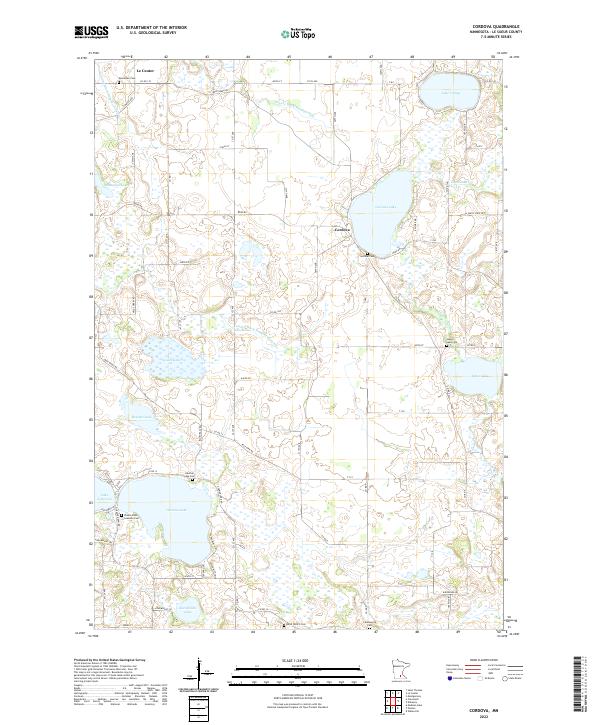
2022 Map of Cordova
USGS Topo · Published 2022About this map
Gorman Lake and Lake Jefferson anchor this portion of the Le Sueur County landscape, where the settlement of Cordova sits amidst a complex network of glacial lakes and drainage systems. The area is defined by its water-rich geography, featuring the Cannon River and numerous basins including Sabre Lake, Lake Volney, and Bossuot Lake. For genealogists, the map is particularly valuable for its density of rural burial sites, such as Gorman Cem, German Lake Cem, and the uniquely named Phebe Jones Lakeside Cem. This document reflects a modern agricultural and residential landscape structured by historic roads like Dodd Rd and Wild Creek Rd, alongside an extensive system of managed watercourses including County Ditch Number Fiftyone and County Ditch Number Sixtyfour.
Find a feature on this map
88 named features on this map. Tap any name to fly to it.
Don’t see what you’re looking for? This feature index may not catch every label — zoom into the map to look around manually.
Map Details
Editions of this 2022 Cordova Map
This is the sole edition of this map. No revisions or reprints were ever made.
Other maps of this area

1950 · Mankato East
USGS Topo · 1:62,500

1951 · Mankato East
USGS Topo · 1:62,500

1953 · Saint Paul
USGS Topo · 1:250,000

1959 · Saint Paul
USGS Topo · 1:250,000

1965 · Cleveland
USGS Topo · 1:24,000

1965 · St Thomas
USGS Topo · 1:24,000

1966 · Montgomery
USGS Topo · 1:24,000

1966 · Waterville
USGS Topo · 1:24,000

1966 · Cordova
USGS Topo · 1:24,000

1966 · Elysian
USGS Topo · 1:24,000