2024 Map of Cordova
USGS Topo · Published 2024About this map
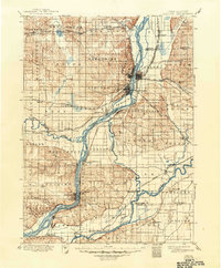
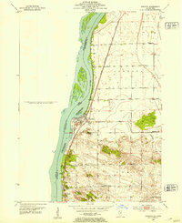
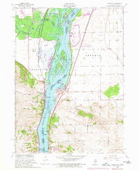
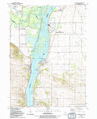
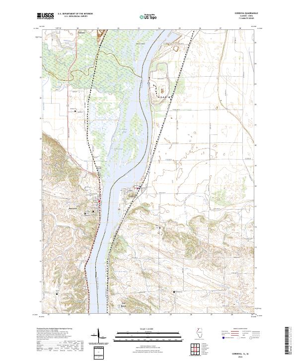
The Mississippi River defines the heart of this landscape, separating the river towns of Cordova and Princeton where the borders of Illinois and Iowa meet. This corridor is characterized by an extensive network of wetlands and backwaters preserved within the Upper Mississippi River National Wildlife and Fish Refuge and the Princeton Wildlife Management Area. Notable water features such as Cordova Slough, Grant Slough, and the mouth of the Wapsipinicon River illustrate the complex hydrology of the river bottomlands before the terrain rises into the surrounding agricultural uplands.
Find a feature on this map
50 named features on this map. Tap any name to fly to it.
Don’t see what you’re looking for? This feature index may not catch every label — zoom into the map to look around manually.
Map Details
Editions of this 2024 Cordova Map
This is the sole edition of this map. No revisions or reprints were ever made.
Historical Maps of Princeton Through Time
5 maps found