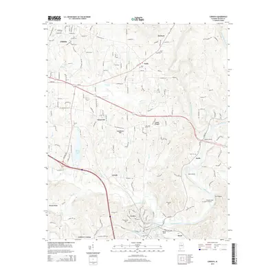
2014 Map of Cordova
USGS Topo · Published 2014About this map
Cordova and the winding course of the Mulberry Fork define this portion of Walker County, Alabama, during the early 21st century. The landscape is a complex network of rural settlements and family-named landmarks, ranging from Gardiners Gin and Chapel Hill in the center to Gobblers Crossing in the south. This era shows the developed infrastructure around Walker County Lake and the significant presence of local cemeteries including Boldo Cem, Sardis Cem, and Porter Cem, which provide essential points of reference for genealogical research in the region.
Find a feature on this map
166 named features on this map. Tap any name to fly to it.
Don’t see what you’re looking for? This feature index may not catch every label — zoom into the map to look around manually.
Map Details
Editions of this 2014 Cordova Map
This is the sole edition of this map. No revisions or reprints were ever made.
Other maps of this area

1893 · Jasper
USGS Topo · 1:125,000

1935 · Port Birmingham
USGS Topo · 1:48,000

1938 · Port Birmingham
USGS Topo · 1:62,500

1949 · Cordova
USGS Topo · 1:24,000

1949 · Parrish
USGS Topo · 1:24,000

1949 · Sipsey
USGS Topo · 1:24,000

1949 · Cold Springs
USGS Topo · 1:24,000

1949 · Jasper
USGS Topo · 1:24,000

1949 · Manchester
USGS Topo · 1:24,000

1949 · Sunlight
USGS Topo · 1:24,000