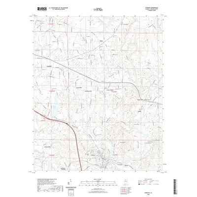
2020 Map of Cordova
USGS Topo · Published 2020About this map
Mulberry Fork winds through the southeastern portion of this landscape, defining the topography near Benoit and Benoit Bend. This part of Walker County is characterized by a network of small settlements and family-named landmarks that speak to the area's rural heritage. Central to the region is the Walker County Lake, also labeled as Walker Co Lake, which serves as a significant hydrologic feature alongside numerous creeks like Cane Creek and Blackwater Creek.
Find a feature on this map
177 named features on this map. Tap any name to fly to it.
Don’t see what you’re looking for? This feature index may not catch every label — zoom into the map to look around manually.
Map Details
Editions of this 2020 Cordova Map
This is the sole edition of this map. No revisions or reprints were ever made.
Other maps of this area

1893 · Jasper
USGS Topo · 1:125,000

1935 · Port Birmingham
USGS Topo · 1:48,000

1938 · Port Birmingham
USGS Topo · 1:62,500

1949 · Cordova
USGS Topo · 1:24,000

1949 · Parrish
USGS Topo · 1:24,000

1949 · Sipsey
USGS Topo · 1:24,000

1949 · Cold Springs
USGS Topo · 1:24,000

1949 · Jasper
USGS Topo · 1:24,000

1949 · Manchester
USGS Topo · 1:24,000

1949 · Sunlight
USGS Topo · 1:24,000