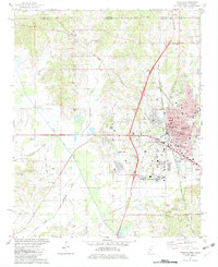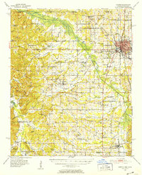
1950 Map of Corinth
USGS Topo · Published 1952About this map
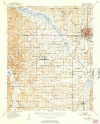
Corinth serves as the focal point of this mid-century landscape, a vital rail hub where the Gulf Mobile and Ohio, Illinois Central, and Southern railroads intersect. The town’s history is anchored by the National Cemetery and a detailed network of streets and industrial sites like the Corinth Airport. Moving south and west, the landscape transitions into a mosaic of small farming communities and family-named landmarks including Kossuth, Biggersville, and Rienzi. The hydraulic management of the region is evident in the Tuscumbia River and its parallel Tuscumbia Canal, reflecting efforts to drain the bottomlands for agricultural use. Genealogists will find a wealth of specific local data, from the Old Danville Cem and Wheeler Grove Cem to numerous rural schools and churches such as Shiloh Ch and Wesley Chapel, which define the social fabric of Alcorn County during this era.
Find a feature on this map
112 named features on this map. Tap any name to fly to it.
Don’t see what you’re looking for? This feature index may not catch every label — zoom into the map to look around manually.
Map Details
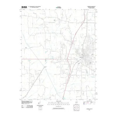
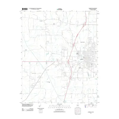
Editions of this 1950 Corinth Map
3 editions found
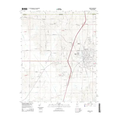
Historical Maps of Corinth Through Time
10 maps found