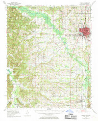
1950 Map of Corinth
USGS Topo · Published 1970About this map
Corinth serves as the regional hub in this mid-century portrait of Alcorn County, situated at the vital intersection of the Gulf Mobile and Ohio, Southern, and Illinois Central railroads. The landscape transitions from the urban density surrounding the National Cemetery and Corinth Airport to a rural network of small farming communities and country parishes. Civil War history and local genealogy are deeply embedded in the terrain, marked by sites like Old Danville Ch and the Wheeler Grove Cem. The agricultural character of the region is further defined by extensive water management projects, most notably the Tuscumbia River Canal, which cuts through the bottomlands to regulate the flow of the Tuscumbia River. Further south, the map details established settlements like Rienzi and Kossuth, along with numerous family-named schools and churches including Antioch Ch No 2 and Holly Sch.
Find a feature on this map
97 named features on this map. Tap any name to fly to it.
Don’t see what you’re looking for? This feature index may not catch every label — zoom into the map to look around manually.
Map Details
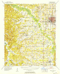
Editions of this 1950 Corinth Map
3 editions found
Other maps of this area

1921 · Booneville
USGS Topo · 1:48,000

1922 · Booneville
USGS Topo · 1:62,500

1935 · Glens
USGS Topo · 1:24,000

1936 · Kendrick
USGS Topo · 1:24,000

1936 · Michie
USGS Topo · 1:24,000

1949 · Michie
USGS Topo · 1:24,000

1950 · Corinth
USGS Topo · 1:62,500

1950 · Kendrick
USGS Topo · 1:24,000

1950 · Glens
USGS Topo · 1:24,000

1950 · Altitude
USGS Topo · 1:24,000