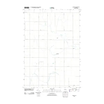
2010 Map of Corinth
USGS Topo · Published 2010About this map
Corinth is situated in the southeastern corner of this Taylor County landscape, where the agricultural grid meets the winding waters of the East Branch Big Eau Pleine River. The area is characterized by a dense network of local roads and county highways that define the rural property lines, including County Hwy-A and County Hwy-D. This 2010 survey captures a region defined by its water management and community infrastructure, notably the Black Creek 3WR130 Dam along Black Creek. These features indicate the ongoing importance of local hydrology to the surrounding fields and woodlots. Educational and recreational landmarks such as the Van Buren School and Gunner Field appear alongside the Corinth Airport, illustrating the community's established footprint within the Wisconsin interior. The map provides a clear view of the transition between cultivated land and the riparian corridors of the river system.
Find a feature on this map
39 named features on this map. Tap any name to fly to it.
Don’t see what you’re looking for? This feature index may not catch every label — zoom into the map to look around manually.
Map Details
Editions of this 2010 Corinth Map
This is the sole edition of this map. No revisions or reprints were ever made.
Other maps of this area

1902 · Marathon
USGS Topo · 1:125,000

1951 · Athens
USGS Topo · 1:48,000

1951 · Medford
USGS Topo · 1:48,000

1953 · Abbotsford
USGS Topo · 1:48,000

1953 · Stratford
USGS Topo · 1:48,000

1953 · Eau Claire
USGS Topo · 1:250,000

1953 · Rice Lake
USGS Topo · 1:250,000

1958 · Eau Claire
USGS Topo · 1:250,000

1959 · Rice Lake
USGS Topo · 1:250,000

1963 · Stratford
USGS Topo · 1:62,500