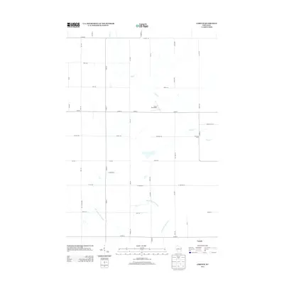
2013 Map of Corinth
USGS Topo · Published 2013About this map
Corinth and its surrounding rural landscapes in Taylor County are documented here in detail, revealing a region defined by its waterway networks and agricultural grid. The E Br Big Eau Pleine River meanders through the southern portion of the quadrangle, while Black Cr cuts across the northern and eastern sections. This survey provides a clear view of the localized infrastructure in the early 21st century, including the Van Buren School and the Gunner Field Airport. The road system, from Windfall Hill Rd to Hay Marsh Rd, follows the classic section lines of the Wisconsin interior. For those researching local history, the naming of these corridors and the specific location of the Corinth settlement offer precise coordinates for tracing land ownership and community development in this part of the state.
Find a feature on this map
42 named features on this map. Tap any name to fly to it.
Don’t see what you’re looking for? This feature index may not catch every label — zoom into the map to look around manually.
Map Details
Editions of this 2013 Corinth Map
This is the sole edition of this map. No revisions or reprints were ever made.
Other maps of this area

1902 · Marathon
USGS Topo · 1:125,000

1951 · Athens
USGS Topo · 1:48,000

1951 · Medford
USGS Topo · 1:48,000

1953 · Abbotsford
USGS Topo · 1:48,000

1953 · Stratford
USGS Topo · 1:48,000

1953 · Eau Claire
USGS Topo · 1:250,000

1953 · Rice Lake
USGS Topo · 1:250,000

1958 · Eau Claire
USGS Topo · 1:250,000

1959 · Rice Lake
USGS Topo · 1:250,000

1963 · Stratford
USGS Topo · 1:62,500