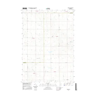
2015 Map of Corinth
USGS Topo · Published 2015About this map
Corinth sits at the southern edge of this Taylor County landscape, positioned near the border with Marathon County. The terrain is defined by the winding course of the E Br Big Eau Pleine River and Black Cr, which drain a region partitioned by an orderly grid of rural roads. These thoroughfares often carry family names, such as Bruckerville Ave, Frahm Rd, and Draper Rd, suggesting a history of long-standing local landownership and agricultural settlement. The interior of the quadrangle is largely defined by these section lines and drainage patterns, with Gunner Field providing a distinct landing site amidst the wooded and cleared patches. This 2015 survey provides a clear view of the modern rural infrastructure in north-central Wisconsin, where transportation remains tied to the original land survey boundaries.
Find a feature on this map
49 named features on this map. Tap any name to fly to it.
Don’t see what you’re looking for? This feature index may not catch every label — zoom into the map to look around manually.
Map Details
Editions of this 2015 Corinth Map
This is the sole edition of this map. No revisions or reprints were ever made.
Other maps of this area

1902 · Marathon
USGS Topo · 1:125,000

1951 · Athens
USGS Topo · 1:48,000

1951 · Medford
USGS Topo · 1:48,000

1953 · Abbotsford
USGS Topo · 1:48,000

1953 · Stratford
USGS Topo · 1:48,000

1953 · Eau Claire
USGS Topo · 1:250,000

1953 · Rice Lake
USGS Topo · 1:250,000

1958 · Eau Claire
USGS Topo · 1:250,000

1959 · Rice Lake
USGS Topo · 1:250,000

1963 · Stratford
USGS Topo · 1:62,500