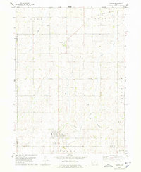
1978 Map of Corley
USGS Topo · Published 1978About this map
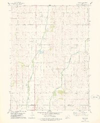
The West Nishnabotna River and its East Branch West Nishnabotna River converge in this agricultural landscape of Shelby County during the late 1970s. The settlement of Corley sits at the heart of the map, situated near the Harlan Municipal Airport and the local Township Cemetery. This survey preserves the rural social structure of the era, from the centralized County Farm north of town to the outlying spiritual and commemorative center of Altamont Church and Altamont Cemetery to the east.
Find a feature on this map
18 named features on this map. Tap any name to fly to it.
Don’t see what you’re looking for? This feature index may not catch every label — zoom into the map to look around manually.
Map Details
Editions of this 1978 Corley Map
This is the sole edition of this map. No revisions or reprints were ever made.
Other maps of this area

1954 · Omaha
USGS Topo · 1:250,000

1957 · Omaha
USGS Topo · 1:250,000

1958 · Omaha
USGS Topo · 1:250,000
1963 · Avoca NW
USGS Topo · 1:24,000
1963 · Avoca
USGS Topo · 1:24,000
1971 · Walnut
USGS Topo · 1:24,000
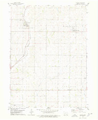
1978 · Panama
USGS Topo · 1:24,000
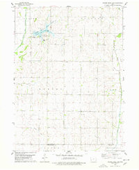
1978 · Prairie Rose Lake
USGS Topo · 1:24,000
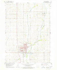
1978 · Harlan
USGS Topo · 1:24,000
1978 · Shelby
USGS Topo · 1:24,000