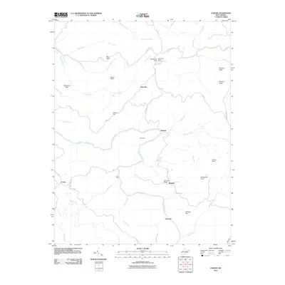
2010 Map of Corliss
USGS Topo · Published 2010About this map
Meadow River carves a winding path through this corner of Fayette County, notably forming a sharp oxbow at The Loop between Nutterville and Burdette. The landscape is defined by the high elevations of Beargarden Knob and Sugargrove Knob, with the latter featuring the Sugar Grove Lookout Tower. Small, scattered communities like Corliss and Bingham are linked by a network of local routes, such as Co Rte 10/1 and River Rd.
Find a feature on this map
47 named features on this map. Tap any name to fly to it.
Don’t see what you’re looking for? This feature index may not catch every label — zoom into the map to look around manually.
Map Details
Editions of this 2010 Corliss Map
This is the sole edition of this map. No revisions or reprints were ever made.
Other maps of this area

1887 · Hinton
USGS Topo · 1:125,000

1889 · Nicholas
USGS Topo · 1:125,000

1891 · Nicholas
USGS Topo · 1:125,000

1892 · Hinton
USGS Topo · 1:125,000

1901 · Nicholas
USGS Topo · 1:125,000

1912 · Meadow Creek
USGS Topo · 1:48,000

1914 · Winona
USGS Topo · 1:48,000

1915 · Meadow Creek
USGS Topo · 1:62,500

1916 · Winona
USGS Topo · 1:62,500

1918 · Richwood
USGS Topo · 1:62,500