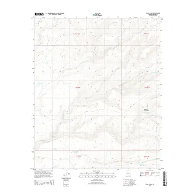
2014 Map of Corn Creek
USGS Topo · Published 2014About this map
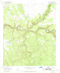
Corn Creek flows through this high-altitude landscape in Apache County, where a network of water resources and mountain canyons defines the terrain. The presence of numerous livestock or wildlife watering points, such as Willow Trap Tank and the John Hall Cabin Tank, indicates a region managed for ranching or resource conservation. The drainages of Big Bonito Cr and Little Bonito Cr converge in the eastern portion of the sheet, while the deep cut of Mountain Lion Canyon provides a prominent geological landmark.
Find a feature on this map
24 named features on this map. Tap any name to fly to it.
Don’t see what you’re looking for? This feature index may not catch every label — zoom into the map to look around manually.
Map Details
Editions of this 2014 Corn Creek Map
This is the sole edition of this map. No revisions or reprints were ever made.
Other maps of this area

1954 · Clifton
USGS Topo · 1:250,000

1957 · Clifton
USGS Topo · 1:250,000

1958 · Clifton
USGS Topo · 1:250,000

1962 · Clifton
USGS Topo · 1:250,000

1967 · Marshall Butte
USGS Topo · 1:24,000
1967 · Corn Creek Plateau
USGS Topo · 1:24,000
1967 · Maverick SW
USGS Topo · 1:24,000
1967 · West Poker Mtn.
USGS Topo · 1:24,000

1967 · Odart Mtn
USGS Topo · 1:24,000
1967 · Elwood Canyon
USGS Topo · 1:24,000