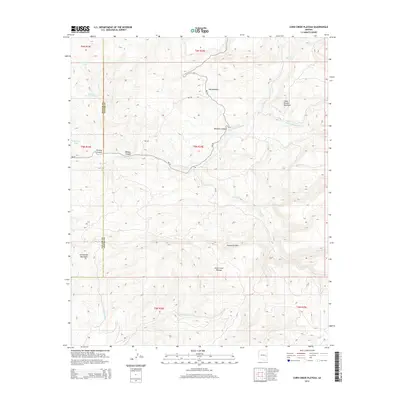
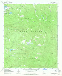
2014 Map of Corn Creek Plateau
USGS Topo · Published 2014About this map
The E Fork White River winds through the heart of this high-elevation landscape, defining the transition between the deep drainages of Williams Canyon and the surrounding tablelands. This 2014 survey captures a section of the Navajo and Apache County line, where the topography rises toward the prominent Corn Creek Plateau and the structural edge of Sevenmile Rim. This is a remote and hydrological-focused map, dominated by the catchments for several creeks including Deep Cr, Rock Cr, and Turkey Cr. Local landmarks such as Little Brushy Mountain and Grindstone Mountain provide orientation for those studying the upland geography of eastern Arizona. Bureau of Indian Affairs routes like Bia-30 and Bia-55 provide the primary access through these canyons, reaching isolated points such as Hay Meadow and several livestock-related water features like Whitespot Tank and Buckhorn Tank.
Find a feature on this map
28 named features on this map. Tap any name to fly to it.
Don’t see what you’re looking for? This feature index may not catch every label — zoom into the map to look around manually.
Map Details
Editions of this 2014 Corn Creek Plateau Map
This is the sole edition of this map. No revisions or reprints were ever made.
Other maps of this area

1954 · Clifton
USGS Topo · 1:250,000

1957 · Clifton
USGS Topo · 1:250,000

1958 · Clifton
USGS Topo · 1:250,000

1962 · Clifton
USGS Topo · 1:250,000
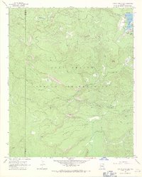
1966 · Hawley Lake West
USGS Topo · 1:24,000

1967 · Marshall Butte
USGS Topo · 1:24,000
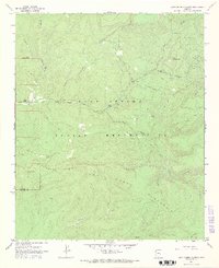
1967 · Corn Creek Plateau
USGS Topo · 1:24,000

1967 · Odart Mtn
USGS Topo · 1:24,000
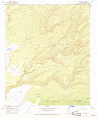
1967 · Corn Creek
USGS Topo · 1:24,000
1967 · Hawley Lake East
USGS Topo · 1:24,000