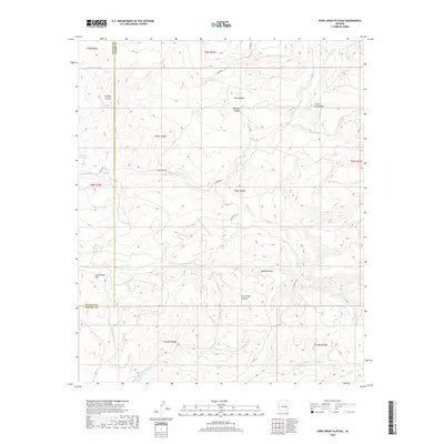
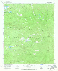
2018 Map of Corn Creek Plateau
USGS Topo · Published 2018About this map
The Corn Creek Plateau and Sevenmile Rim define the high-country topography along the boundary of Navajo and Apache Counties. This modern landscape is characterized by a network of seasonal water sources and canyons, including the Bones Canyon and Williams Canyon systems that drain toward the E Fork White River. Historically significant for ranching and water management in a semi-arid environment, the map identifies specific improvements such as Buckhorn Tank, Lower Firebox Tank, and Whitespot Tank. Local routes like Indian Route 55 and County Road 60 navigate the varied elevations between Grindstone Mtn and Little Brushy Mtn, providing access to isolated grazing lands like Hay Meadow.
Find a feature on this map
30 named features on this map. Tap any name to fly to it.
Don’t see what you’re looking for? This feature index may not catch every label — zoom into the map to look around manually.
Map Details
Editions of this 2018 Corn Creek Plateau Map
This is the sole edition of this map. No revisions or reprints were ever made.
Other maps of this area

1954 · Clifton
USGS Topo · 1:250,000

1957 · Clifton
USGS Topo · 1:250,000

1958 · Clifton
USGS Topo · 1:250,000

1962 · Clifton
USGS Topo · 1:250,000
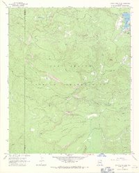
1966 · Hawley Lake West
USGS Topo · 1:24,000

1967 · Marshall Butte
USGS Topo · 1:24,000
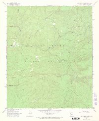
1967 · Corn Creek Plateau
USGS Topo · 1:24,000

1967 · Odart Mtn
USGS Topo · 1:24,000
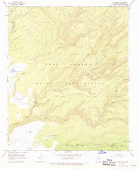
1967 · Corn Creek
USGS Topo · 1:24,000
1967 · Hawley Lake East
USGS Topo · 1:24,000