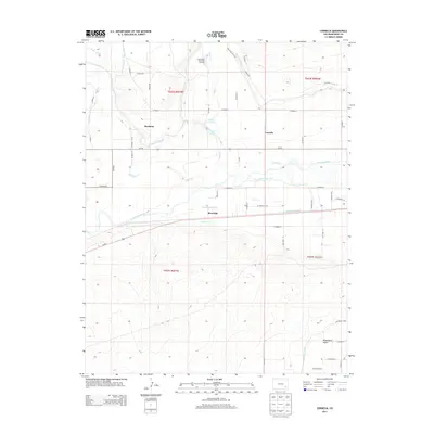
2013 Map of Cornelia
USGS Topo · Published 2013About this map
The Arkansas River forms the central axis of this Bent County landscape, where an intricate network of irrigation systems has long defined local agriculture. Early 21st-century water management is visible through features like the Consolidated Ditch, Jones Ditch, and the Las Animas Town Ditch, which divert river water to sustain the surrounding plains. The settlement of Marlman sits north of the river, while Riverdale occupies the lowlands just south of the main channel. This area also serves as a hub for conservation and water storage, evidenced by the Las Animas State Fish Hatchery and Dawn Reservoir. To the south, the terrain descends into the Picketwire Valley, a name that reflects the local phonetic adaptation of the Purgatoire River. The map documents a rural corridor where legacy ranch roads and state highways intersect with gravity-fed canals like the Fort Lyon Canal and Highland Canal, illustrating the enduring reliance on the river's flow for the region's livelihood.
Find a feature on this map
52 named features on this map. Tap any name to fly to it.
Don’t see what you’re looking for? This feature index may not catch every label — zoom into the map to look around manually.
Map Details
Editions of this 2013 Cornelia Map
This is the sole edition of this map. No revisions or reprints were ever made.
Other maps of this area

1891 · Higbee
USGS Topo · 1:125,000

1891 · Las Animas
USGS Topo · 1:125,000

1893 · Higbee
USGS Topo · 1:125,000

1893 · Las Animas
USGS Topo · 1:125,000

1953 · Las Animas
USGS Topo · 1:24,000

1953 · Cornelia
USGS Topo · 1:24,000

1953 · Hadley
USGS Topo · 1:24,000

1954 · Lamar
USGS Topo · 1:250,000

1955 · Mc Intosh Ranch
USGS Topo · 1:24,000

1955 · Bishop Ranch
USGS Topo · 1:24,000