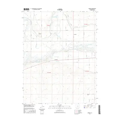
2016 Map of Cornelia
USGS Topo · Published 2016About this map
The Arkansas River forms the central axis of this landscape in Bent County, where an intricate network of irrigation engineering supports the high plains economy. Diversion systems including the Consolidated Ditch, Jones Ditch, and the Fort Lyon Canal demonstrate the region's total reliance on water management for agriculture. Small rural clusters like Marlman, Cornelia, and Riverdale are situated along these vital arteries, connected by a strictly gridded system of county roads such as Wedge Rd and Cornelia Rd.
Find a feature on this map
49 named features on this map. Tap any name to fly to it.
Don’t see what you’re looking for? This feature index may not catch every label — zoom into the map to look around manually.
Map Details
Editions of this 2016 Cornelia Map
This is the sole edition of this map. No revisions or reprints were ever made.
Other maps of this area

1891 · Higbee
USGS Topo · 1:125,000

1891 · Las Animas
USGS Topo · 1:125,000

1893 · Higbee
USGS Topo · 1:125,000

1893 · Las Animas
USGS Topo · 1:125,000

1953 · Las Animas
USGS Topo · 1:24,000

1953 · Cornelia
USGS Topo · 1:24,000

1953 · Hadley
USGS Topo · 1:24,000

1954 · Lamar
USGS Topo · 1:250,000

1955 · Mc Intosh Ranch
USGS Topo · 1:24,000

1955 · Bishop Ranch
USGS Topo · 1:24,000