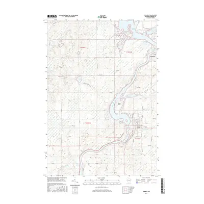
2015 Map of Cornell
USGS Topo · Published 2015About this map
The Chippewa River serves as the central artery for this portion of Chippewa County, winding south from the massive Holcombe Flowage toward the city of Cornell. The landscape is defined by the managed waters of the river system, including the Cornell Flowage and the notable landform of Brunet Island, which sits at the confluence with the Fisher River. This 2015 data illustrates a region heavily shaped by its hydrology, where numerous smaller tributaries like French Cr and Clark Cr feed the main channel.
Find a feature on this map
89 named features on this map. Tap any name to fly to it.
Don’t see what you’re looking for? This feature index may not catch every label — zoom into the map to look around manually.
Map Details
Editions of this 2015 Cornell Map
This is the sole edition of this map. No revisions or reprints were ever made.
Other maps of this area

1948 · Weyerhauser
USGS Topo · 1:48,000

1948 · Ladysmith
USGS Topo · 1:48,000

1949 · Bloomer
USGS Topo · 1:62,500

1950 · Weyerhauser
USGS Topo · 1:48,000

1950 · Ladysmith
USGS Topo · 1:48,000

1951 · Bloomer
USGS Topo · 1:62,500

1951 · Cornell
USGS Topo · 1:62,500

1953 · Rice Lake
USGS Topo · 1:250,000

1959 · Rice Lake
USGS Topo · 1:250,000
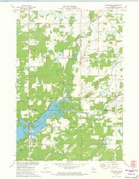
1971 · Ladysmith SE
USGS Topo · 1:24,000