
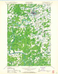
1950 Map of Weyerhauser
USGS Topo · Published 1950About this map
The Minneapolis St Paul and Sault Ste Marie Railroad defines the mid-century industrial spine of Rusk County, connecting the bustling village of Weyerhauser with Apollonia and Bruce. This 1950 planimetric survey shows a landscape of glacial kettle lakes and evolving infrastructure, where U S Highway No 8 runs parallel to the rail line through the northern townships of Wilkinson and Atlanta.
Find a feature on this map
109 named features on this map. Tap any name to fly to it.
Don’t see what you’re looking for? This feature index may not catch every label — zoom into the map to look around manually.
Map Details
Editions of this 1950 Weyerhauser Map
This is the sole edition of this map. No revisions or reprints were ever made.
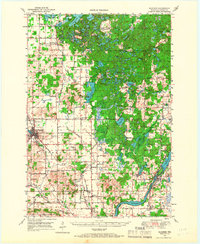
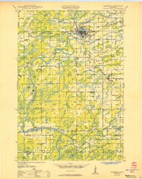
Other maps of this area

1944 · Exeland
USGS Topo · 1:48,000

1945 · Meteor
USGS Topo · 1:48,000

1947 · Exeland
USGS Topo · 1:48,000

1948 · Weyerhauser
USGS Topo · 1:48,000
1948 · Ladysmith
USGS Topo · 1:48,000

1949 · Meteor
USGS Topo · 1:48,000

1949 · Rice Lake
USGS Topo · 1:48,000
1949 · Bloomer
USGS Topo · 1:62,500

1949 · New Auburn
USGS Topo · 1:62,500
1950 · Ladysmith
USGS Topo · 1:48,000