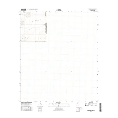
2017 Map of Corner Well
USGS Topo · Published 2017About this map
United States of America Estados Unidos Mexicanos international boundary lines define this remote desert landscape, where the far reaches of Hidalgo Co meet the northern territory of Chihuahua. The terrain is marked by the presence of Corner Well, a vital water source in an arid expanse characterized by township t34s r14w. This 2017 survey reflects the stark intersection of geopolitical borders and the environmental reality of the High Desert. While the topographic detail focuses on the American side within New Mexico, the map illustrates the geographic continuity of the region across the border, emphasizing the isolation of these frontier lands.
Find a feature on this map
15 named features on this map. Tap any name to fly to it.
Don’t see what you’re looking for? This feature index may not catch every label — zoom into the map to look around manually.
Map Details
Editions of this 2017 Corner Well Map
This is the sole edition of this map. No revisions or reprints were ever made.
Other maps of this area

1918 · Dog Mountains
USGS Topo · 1:62,500

1955 · Douglas
USGS Topo · 1:250,000

1959 · Douglas
USGS Topo · 1:250,000

1961 · Douglas
USGS Topo · 1:250,000

1964 · Douglas
USGS Topo · 1:250,000
1982 · Pierce Peak
USGS Topo · 1:24,000
1983 · Dog Mountains
USGS Topo · 1:24,000
1983 · Alamo Hueco Mountains
USGS Topo · 1:100,000
1983 · Campbell Well
USGS Topo · 1:24,000
1983 · Corner Well
USGS Topo · 1:24,000