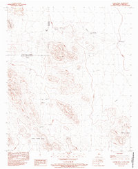
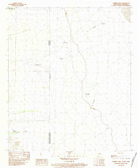
1983 Map of Corner Well
USGS Topo · Published 1983About this map
The New Mexico-Chihuahua border defines this desert landscape, where the international line separates Hidalgo County from the Mexican state to the south. This 1983 provisional survey highlights the high-altitude terrain of the Peloncillo Mountains region, anchored by the prominent summit of El Indio and the rising slopes of Haystack Mountain in the northwest. Human activity in this arid environment is centered around essential water and transit points, most notably Corner Well and an isolated Airstrip near the border. Small settlements and named locales like El Monumento and El Rincon are scattered among complex geological formations such as the Cerros Piedras Negras and Cerros El Rincon. The topography is marked by ephemeral drainages like Bordos Torres, reflecting the seasonal water patterns of the high desert.
Find a feature on this map
19 named features on this map. Tap any name to fly to it.
Don’t see what you’re looking for? This feature index may not catch every label — zoom into the map to look around manually.
Map Details
Editions of this 1983 Corner Well Map
This is the sole edition of this map. No revisions or reprints were ever made.
Other maps of this area

1918 · Dog Mountains
USGS Topo · 1:62,500

1955 · Douglas
USGS Topo · 1:250,000

1959 · Douglas
USGS Topo · 1:250,000

1961 · Douglas
USGS Topo · 1:250,000

1964 · Douglas
USGS Topo · 1:250,000
1982 · Pierce Peak
USGS Topo · 1:24,000
1983 · Dog Mountains
USGS Topo · 1:24,000
1983 · Alamo Hueco Mountains
USGS Topo · 1:100,000
1983 · Campbell Well
USGS Topo · 1:24,000
2010 · Campbell Well
USGS Topo · 1:24,000