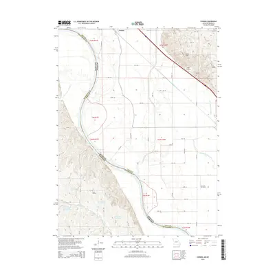
2014 Map of Corning
USGS Topo · Published 2014About this map
The Missouri River serves as a winding natural boundary between Holt County and Richardson County, defining the border between Missouri and Nebraska. Along its eastern banks, the landscape is shaped by the complex hydrology of the Tarkio River and the Old Channel Tarkio River, which illustrate the shifting courses of these waterbodies over time. In the northern reaches, the small settlement of Corning is established near the base of dramatic terrain features like Pigeon Ridge and Mill Hollow. Several family and local burial grounds, including the Arago Cemetery, Tharp Cemetery, and Williams Cemetery, are found throughout the area, providing clear points of interest for genealogical research. The region's agricultural character is further emphasized by numerous reservoirs, such as the Fischer-Rieger Reservoir and the Winnebago Cr Reservoir 4-4, which support the local farm economy near the Lonesome Sky Airport.
Find a feature on this map
37 named features on this map. Tap any name to fly to it.
Don’t see what you’re looking for? This feature index may not catch every label — zoom into the map to look around manually.
Map Details
Editions of this 2014 Corning Map
This is the sole edition of this map. No revisions or reprints were ever made.
Other maps of this area

1915 · Falls City
USGS Topo · 1:62,500

1915 · Nemaha
USGS Topo · 1:62,500

1920 · Craig
USGS Topo · 1:62,500

1936 · Fairfax
USGS Topo · 1:24,000

1939 · Tarkio
USGS Topo · 1:62,500

1939 · Nemaha
USGS Topo · 1:62,500

1940 · Tarkio
USGS Topo · 1:62,500

1941 · Tarkio
USGS Topo · 1:62,500

1949 · Nemaha
USGS Topo · 1:62,500

1955 · Nebraska City
USGS Topo · 1:250,000