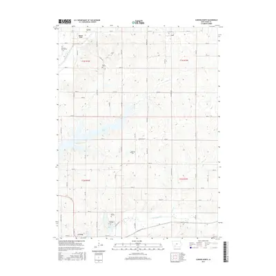
2015 Map of Corning North
USGS Topo · Published 2015About this map
Mount Etna and Carl anchor the northern landscape of Adams County in this 2015 survey, which highlights the area's rich genealogical footprint. The map documents numerous burial grounds scattered across the townships, including the Old Mount Etna Cem and Forest Hill Cem in the north, and the Old Queen City Cem and Queen City Cem near the southern boundary. These sites, often positioned near family-named roads like Kentucky Ave and Mulberry Ave, suggest early settlement patterns before modern rural consolidation.
Find a feature on this map
58 named features on this map. Tap any name to fly to it.
Don’t see what you’re looking for? This feature index may not catch every label — zoom into the map to look around manually.
Map Details
Editions of this 2015 Corning North Map
This is the sole edition of this map. No revisions or reprints were ever made.
Other maps of this area

1954 · Omaha
USGS Topo · 1:250,000

1955 · Nebraska City
USGS Topo · 1:250,000

1957 · Nebraska City
USGS Topo · 1:250,000

1957 · Omaha
USGS Topo · 1:250,000

1958 · Omaha
USGS Topo · 1:250,000

1958 · Nebraska City
USGS Topo · 1:250,000

1980 · Corning South
USGS Topo · 1:24,000

1980 · Lenox
USGS Topo · 1:24,000

1980 · Nevinville
USGS Topo · 1:24,000

1980 · Corning North
USGS Topo · 1:24,000