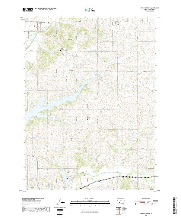
2022 Map of Corning North
USGS Topo · Published 2022About this map
Lake Icaria dominates the central landscape of this Adams County region, serving as a primary hydrologic feature alongside the winding Middle Nodaway River. The settlement pattern reflects the area's agricultural foundations, anchored by Corning at the southern edge and smaller communities like Mount Etna and Carl to the north. A significant density of burial sites suggests a long history of local township life, including the Old Mount Etna Cem, Forest Hill Cem, and the Mount Pleasant Cem.
Find a feature on this map
57 named features on this map. Tap any name to fly to it.
Don’t see what you’re looking for? This feature index may not catch every label — zoom into the map to look around manually.
Map Details
Editions of this 2022 Corning North Map
This is the sole edition of this map. No revisions or reprints were ever made.
Other maps of this area

1954 · Omaha
USGS Topo · 1:250,000

1955 · Nebraska City
USGS Topo · 1:250,000

1957 · Nebraska City
USGS Topo · 1:250,000

1957 · Omaha
USGS Topo · 1:250,000

1958 · Omaha
USGS Topo · 1:250,000

1958 · Nebraska City
USGS Topo · 1:250,000

1980 · Corning South
USGS Topo · 1:24,000

1980 · Lenox
USGS Topo · 1:24,000

1980 · Nevinville
USGS Topo · 1:24,000

1980 · Corning North
USGS Topo · 1:24,000