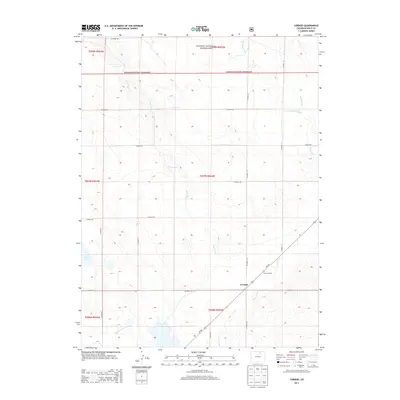
2013 Map of Cornish
USGS Topo · Published 2013About this map
The high plains of Weld County are defined here by the sparse settlement of Cornish and the sprawling northern expanse of the Pawnee National Grassland. This section of the Colorado landscape shows a transition from managed agricultural land toward the open range, evidenced by the presence of the Greeley Number 2 Canal in the southwest and the Flying G Ranch further east. A complex network of county roads, including CO Road 88 and CO Road 69, creates a rigid grid across the undulating terrain. Seasonal and ephemeral water systems like Coal Creek and Crow Creek cut through the landscape, alongside smaller features such as Long Lake and Little Sand Creek. The map provides a clear look at the Public Land Survey System organization of these townships during the early 21st century.
Find a feature on this map
27 named features on this map. Tap any name to fly to it.
Don’t see what you’re looking for? This feature index may not catch every label — zoom into the map to look around manually.
Map Details
Editions of this 2013 Cornish Map
This is the sole edition of this map. No revisions or reprints were ever made.
Other maps of this area

1902 · Greeley
USGS Topo · 1:125,000

1908 · Eaton
USGS Topo · 1:125,000

1910 · Eaton
USGS Topo · 1:125,000

1950 · Kersey
USGS Topo · 1:24,000

1950 · Barnesville
USGS Topo · 1:24,000

1951 · Point Of Rocks
USGS Topo · 1:24,000

1954 · Greeley
USGS Topo · 1:250,000

1957 · Greeley
USGS Topo · 1:250,000

1958 · Greeley
USGS Topo · 1:250,000

1960 · Purcell
USGS Topo · 1:24,000