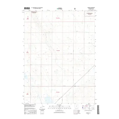
2016 Map of Cornish
USGS Topo · Published 2016About this map
The settlement of Cornish serves as a focal point in this portion of Weld County, situated near the southern boundary of the Pawnee National Grassland. The landscape is defined by the ephemeral drainage patterns of the high plains, where Crow Cr and its tributaries, including Little Sand Cr and Coal Cr, weave through the prairie. These watercourses are vital landmarks in a region dominated by ranching and open range.
Find a feature on this map
27 named features on this map. Tap any name to fly to it.
Don’t see what you’re looking for? This feature index may not catch every label — zoom into the map to look around manually.
Map Details
Editions of this 2016 Cornish Map
This is the sole edition of this map. No revisions or reprints were ever made.
Other maps of this area

1902 · Greeley
USGS Topo · 1:125,000

1908 · Eaton
USGS Topo · 1:125,000

1910 · Eaton
USGS Topo · 1:125,000

1950 · Kersey
USGS Topo · 1:24,000

1950 · Barnesville
USGS Topo · 1:24,000

1951 · Point Of Rocks
USGS Topo · 1:24,000

1954 · Greeley
USGS Topo · 1:250,000

1957 · Greeley
USGS Topo · 1:250,000

1958 · Greeley
USGS Topo · 1:250,000

1960 · Purcell
USGS Topo · 1:24,000