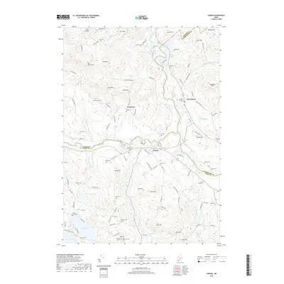
2018 Map of Cornish
USGS Topo · Published 2018About this map
The confluence of the Saco River and Ossipee River anchors this Maine landscape, where the town of Cornish and nearby West Baldwin sit at the intersection of three counties. This modern topographic record captures a densely populated genealogical landscape, marked by a high concentration of small family burying grounds and community cemeteries. From the Cotton Burying Ground in the north to the Cole Cemeteries and Guptill Cem further south, these sites trace the deep lineage of local families. The terrain is defined by dramatic peaks such as Mt Misery and Gould Mtn, separated by the notable Peaked Mountain Pass. Local industry and infrastructure are evident at Great Falls and along Hiram Dam Rd, while the settlement at Durgintown remains a focal point for the surrounding highlands near Mt Cutler.
Find a feature on this map
122 named features on this map. Tap any name to fly to it.
Don’t see what you’re looking for? This feature index may not catch every label — zoom into the map to look around manually.
Map Details
Editions of this 2018 Cornish Map
This is the sole edition of this map. No revisions or reprints were ever made.
Other maps of this area

1891 · Buxton
USGS Topo · 1:62,500

1891 · Newfield
USGS Topo · 1:62,500

1892 · Buxton
USGS Topo · 1:62,500

1893 · Buxton
USGS Topo · 1:62,500

1893 · Newfield
USGS Topo · 1:62,500

1896 · Sebago
USGS Topo · 1:62,500

1910 · Kezar Falls
USGS Topo · 1:48,000

1911 · Kezar Falls
USGS Topo · 1:62,500

1933 · Newfield
USGS Topo · 1:48,000

1937 · Newfield
USGS Topo · 1:62,500