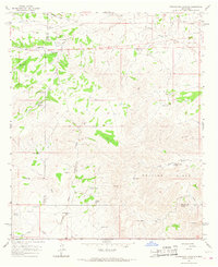
1965 Map of Cornucopia Canyon
USGS Topo · Published 1968About this map
The boundary between Otero Co and Chaves Co cuts across this high-desert landscape, where ranching life in the mid-1960s relied heavily on a complex network of man-made catchments. Cattle operations are the primary human footprint here, anchored by established sites like Coupland Ranch, Gage Ranch, and Merritt Ranch. To sustain livestock in this arid environment, the terrain is dotted with numerous water tanks named for local families or locations, including Alva Smith Tanks, Ogg Tank, and John Gentry Tank.
Find a feature on this map
35 named features on this map. Tap any name to fly to it.
Don’t see what you’re looking for? This feature index may not catch every label — zoom into the map to look around manually.
Map Details
Editions of this 1965 Cornucopia Canyon Map
This is the sole edition of this map. No revisions or reprints were ever made.
Other maps of this area

1954 · Carlsbad
USGS Topo · 1:250,000

1958 · Carlsbad
USGS Topo · 1:250,000

1963 · Cornucopia Canyon
USGS Topo · 1:24,000

1963 · Tanner Ranch
USGS Topo · 1:24,000

1963 · Indian Draw
USGS Topo · 1:24,000

1965 · Chimney Lake
USGS Topo · 1:24,000

1965 · Lewis Peak
USGS Topo · 1:24,000

1965 · Avis
USGS Topo · 1:24,000

1965 · Pinon
USGS Topo · 1:24,000

1965 · Pinon Ranch
USGS Topo · 1:24,000