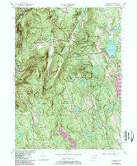
2024 Map of Cornwall
USGS Topo · Published 2024About this map
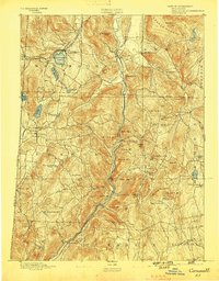
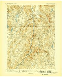
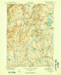
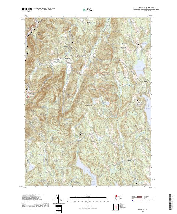
Cornwall and its satellite villages of North Cornwall, West Cornwall, and Cornwall Bridge anchor this detailed study of the Litchfield Hills. The terrain is defined by prominent elevations like Mohawk Mountain and Coltsfoot Mtn, which overlook a complex network of brooks and swamps feeding into the Housatonic River. The map reveals a deeply rooted rural landscape, evidenced by numerous family-named burial grounds such as Wright Cem and Allen Cem, alongside landmarks like Quarry Hill and the Wings Ago Airstrip.
Find a feature on this map
160 named features on this map. Tap any name to fly to it.
Don’t see what you’re looking for? This feature index may not catch every label — zoom into the map to look around manually.
Map Details
Editions of this 2024 Cornwall Map
This is the sole edition of this map. No revisions or reprints were ever made.
Historical Maps of Tyler Lake Heights Through Time
6 maps found