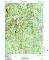
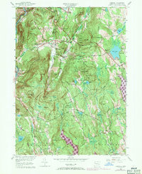
1956 Map of Cornwall
USGS Topo · Published 1984About this map
The Housatonic River carves the western boundary of this Litchfield County landscape, where the rugged slopes of Coltsfoot Mountain and Mohawk Mountain define the local topography. This 1950s era survey captures the traditional agricultural and forestry patterns of Cornwall, featuring numerous named crossroads like Hitchcock Corners and Kellogg Corners. Extensive conservation lands including Housatonic State Forest and Mohawk State Forest dominate the central and eastern portions, intersected by the historic Appalachian Trail. Cultural landmarks and small settlements are scattered throughout the valleys, from the riverfront at West Cornwall to the interior village of Milton. Genealogists and historians will find value in the precise location of several burial grounds, such as Allen Cem and Southeast Cem, alongside distinctive natural features like Baldwin Cave and the swampy reaches of the Cranberry Bog.
Find a feature on this map
93 named features on this map. Tap any name to fly to it.
Don’t see what you’re looking for? This feature index may not catch every label — zoom into the map to look around manually.
Map Details
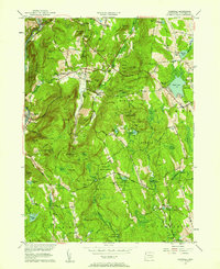
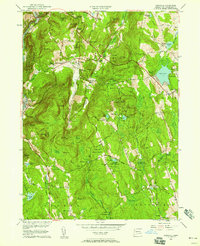
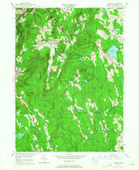
Editions of this 1956 Cornwall Map
5 editions found
Other maps of this area

1892 · Winsted
USGS Topo · 1:62,500

1892 · Cornwall
USGS Topo · 1:62,500

1892 · New Milford
USGS Topo · 1:62,500

1893 · Waterbury
USGS Topo · 1:62,500

1893 · New Milford
USGS Topo · 1:62,500

1893 · Cornwall
USGS Topo · 1:62,500

1903 · Cornwall
USGS Topo · 1:62,500

1904 · New Milford
USGS Topo · 1:62,500

1904 · Waterbury
USGS Topo · 1:62,500

1904 · Litchfield
USGS Topo · 1:125,000