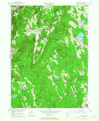
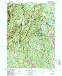
1956 Map of Cornwall
USGS Topo · Published 1965About this map
The Housatonic River carves a path through the northwestern corner of this mid-century survey, defining a landscape shaped by both the timber industry and outdoor recreation. Large tracts of protected land, including the Mohawk State Forest and Housatonic Meadows State Park, preserve significant ridges like Coltsfoot Mountain and Mohawk Mtn. The transport network reveals the era's reliance on both the New York New Haven and Hartford railroad and the burgeoning trail systems like the Appalachian Trail and Mattatuck Trail. Family-named corners such as Emmons Corners, Kellogg Corners, and Hitchcock Corners speak to the area's genealogical history, marking long-standing local settlements. This map captures a moment when traditional agrarian patterns and small villages like West Cornwall and West Goshen existed alongside established recreational camps and state-managed woodlands.
Find a feature on this map
98 named features on this map. Tap any name to fly to it.
Don’t see what you’re looking for? This feature index may not catch every label — zoom into the map to look around manually.
Map Details
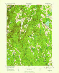
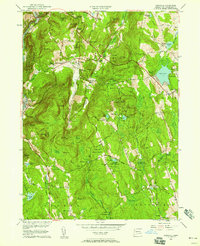
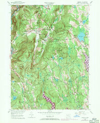
Editions of this 1956 Cornwall Map
5 editions found
Other maps of this area

1892 · Winsted
USGS Topo · 1:62,500

1892 · Cornwall
USGS Topo · 1:62,500

1892 · New Milford
USGS Topo · 1:62,500

1893 · Waterbury
USGS Topo · 1:62,500

1893 · New Milford
USGS Topo · 1:62,500

1893 · Cornwall
USGS Topo · 1:62,500

1903 · Cornwall
USGS Topo · 1:62,500

1904 · New Milford
USGS Topo · 1:62,500

1904 · Waterbury
USGS Topo · 1:62,500

1904 · Litchfield
USGS Topo · 1:125,000