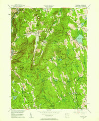
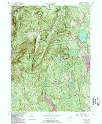
1956 Map of Cornwall
USGS Topo · Published 1958About this map
The Housatonic River carves a deep valley along the western edge of this Litchfield County landscape, shadowed by the New York New Haven and Hartford RR. This mid-century survey documents a region of small, interconnected hamlets such as West Cornwall, Cornwall Bridge, and Cornwall Center, set against the backdrop of extensive public lands like Housatonic State Forest and Mohawk State Park. Significant hiking routes, including the Appalachian Trail and Mattatuck Trail, weave through the elevations of Mohawk Mtn and Dudleytown Hill. Local genealogy and land use are well-preserved through numerous family-named corners like Emmons Corners and Kellogg Corners, as well as small graveyards including Cornwall Cem and West Side Cem. The eastern portion is dominated by the waters of Tyler Lake and the settlement of West Goshen, illustrating the rural character of northern Connecticut before major modern expansion.
Find a feature on this map
72 named features on this map. Tap any name to fly to it.
Don’t see what you’re looking for? This feature index may not catch every label — zoom into the map to look around manually.
Map Details
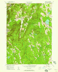
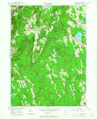
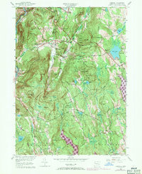
Editions of this 1956 Cornwall Map
5 editions found
Other maps of this area

1892 · Winsted
USGS Topo · 1:62,500

1892 · Cornwall
USGS Topo · 1:62,500

1892 · New Milford
USGS Topo · 1:62,500

1893 · Waterbury
USGS Topo · 1:62,500

1893 · New Milford
USGS Topo · 1:62,500

1893 · Cornwall
USGS Topo · 1:62,500

1903 · Cornwall
USGS Topo · 1:62,500

1904 · New Milford
USGS Topo · 1:62,500

1904 · Waterbury
USGS Topo · 1:62,500

1904 · Litchfield
USGS Topo · 1:125,000