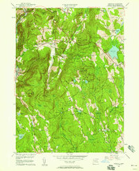
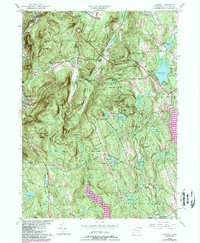
1956 Map of Cornwall
USGS Topo · Published 1958About this map
The Housatonic River forms the western boundary of this landscape, carving through a region defined by steep ridges and tightly packed forest preserves. In the mid-1950s, the area maintained a balance between traditional agriculture and growing recreational use, evidenced by the presence of a Ski Lift on the slopes and the established Camp Mohawk. Local history and genealogy are well-represented by several family-named burial grounds including Wright Cem and Allen Cem, alongside the remote settlement site of Dudleytown on the eastern flank of Bald Mtn. A network of trails, including the Appalachian Trail and Mattatuck Trail, winds through the Mohawk State Forest and Housatonic State Forest, connecting the high points of Mohawk Mtn and The Pinnacle with the valley floors below.
Find a feature on this map
103 named features on this map. Tap any name to fly to it.
Don’t see what you’re looking for? This feature index may not catch every label — zoom into the map to look around manually.
Map Details
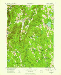
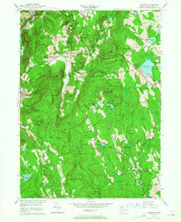
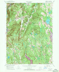
Editions of this 1956 Cornwall Map
5 editions found
Other maps of this area

1892 · Winsted
USGS Topo · 1:62,500

1892 · Cornwall
USGS Topo · 1:62,500

1892 · New Milford
USGS Topo · 1:62,500

1893 · Waterbury
USGS Topo · 1:62,500

1893 · New Milford
USGS Topo · 1:62,500

1893 · Cornwall
USGS Topo · 1:62,500

1903 · Cornwall
USGS Topo · 1:62,500

1904 · New Milford
USGS Topo · 1:62,500

1904 · Waterbury
USGS Topo · 1:62,500

1904 · Litchfield
USGS Topo · 1:125,000