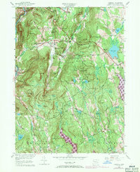
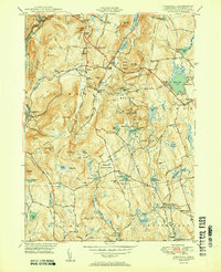
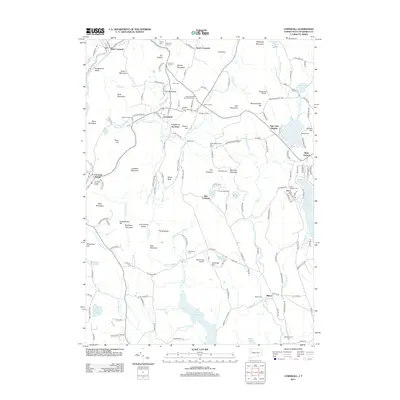
1956 Map of Cornwall
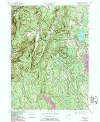
USGS Topo · Published 1971About this map
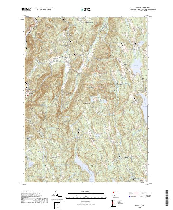
The Housatonic River carves the western edge of this Litchfield County landscape, where mid-century transportation and conservation efforts converged. The Central New England RR tracks parallel the river, serving the communities of West Cornwall and Cornwall Bridge. Moving inland, the terrain is defined by the steep rises of Mine Mountain and Coltsfoot Mountain, leading toward the extensive acreage of Mohawk State Forest and Housatonic State Forest.
Find a feature on this map
87 named features on this map. Tap any name to fly to it.
Don’t see what you’re looking for? This feature index may not catch every label — zoom into the map to look around manually.
Map Details
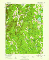
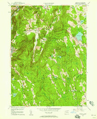
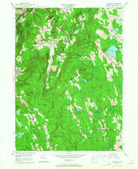
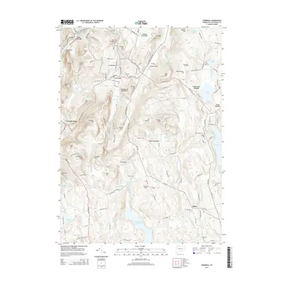
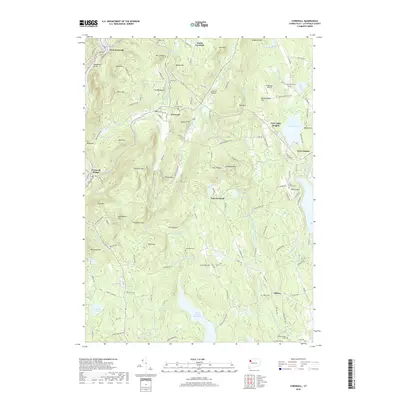
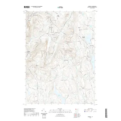
Editions of this 1956 Cornwall Map
5 editions found
Historical Maps of Litchfield Through Time
10 maps found

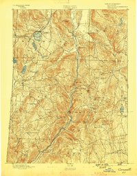
1892 Cornwall
Litchfield County, CT
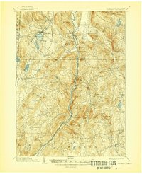
1893 Cornwall
Litchfield County, CT
1903 Cornwall
Litchfield County, CT
1950 Cornwall
Litchfield County, CT
1956 Cornwall
Litchfield County, CT
2012 Cornwall
Litchfield County, CT
2015 Cornwall
Litchfield County, CT
2018 Cornwall
Litchfield County, CT
2021 Cornwall
Litchfield County, CT
2024 Cornwall
Litchfield County, CT