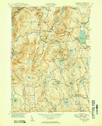
1950 Map of Cornwall
USGS Topo · Published 1950About this map
Cornwall and its surrounding hamlets are depicted here at the mid-century, following a 1948 field check that captured the quiet rural character of northwestern Connecticut. The landscape is defined by its deep history of scattered settlements like Cornwall Center, Hitchcock Corners, and Cornwall Bridge, the latter serving as a vital crossing point on the Housatonic River alongside the New York New Haven and Hartford RR. Several family-named landmarks and cemeteries, including the Wright Cem and Allen Cem, provide significant data for genealogists tracing the local lineage. This survey preserves the footprint of a region heavily integrated with its natural resources, showing the extent of the Mohawk State Forest and the early layout of the Appalachian Trail. Features like Dudleytown Hill and the Coltsfoot Mountain range reflect a topography that directed development toward the valleys of Furnace Brook and the Hollenbeck River.
Find a feature on this map
93 named features on this map. Tap any name to fly to it.
Don’t see what you’re looking for? This feature index may not catch every label — zoom into the map to look around manually.
Map Details
Editions of this 1950 Cornwall Map
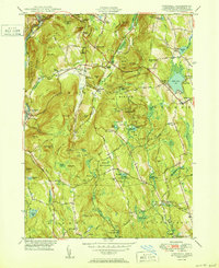
2 editions found
Other maps of this area

1892 · Winsted
USGS Topo · 1:62,500

1892 · Cornwall
USGS Topo · 1:62,500

1892 · New Milford
USGS Topo · 1:62,500

1893 · Waterbury
USGS Topo · 1:62,500

1893 · New Milford
USGS Topo · 1:62,500

1893 · Cornwall
USGS Topo · 1:62,500

1903 · Cornwall
USGS Topo · 1:62,500

1904 · New Milford
USGS Topo · 1:62,500

1904 · Waterbury
USGS Topo · 1:62,500

1904 · Litchfield
USGS Topo · 1:125,000