
1893 Map of Cornwall
USGS Topo · Published 1893About this map
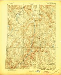
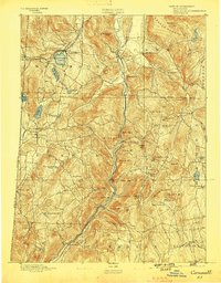
The Housatonic River carves a deep valley through Litchfield County in this late-nineteenth-century survey, serving as the primary corridor for the Housatonic Railroad. The landscape reflects a well-established iron and agricultural economy, with the mining district of Ore Hill and the industrial activity at Lime Rock and Falls Village clearly visible. These valleys are contrasted by the sharp elevation of the Berkshires, including Canaan Mountain and Mohawk Mountain.
Find a feature on this map
77 named features on this map. Tap any name to fly to it.
Don’t see what you’re looking for? This feature index may not catch every label — zoom into the map to look around manually.
Map Details
Editions of this 1893 Cornwall Map
3 editions found
Other maps of this area

1885 · Sheffield
USGS Topo · 1:62,500

1888 · Sheffield
USGS Topo · 1:62,500

1888 · Sandisfield
USGS Topo · 1:62,500

1891 · Sheffield
USGS Topo · 1:62,500

1892 · Winsted
USGS Topo · 1:62,500

1892 · Cornwall
USGS Topo · 1:62,500

1892 · New Milford
USGS Topo · 1:62,500

1893 · Waterbury
USGS Topo · 1:62,500

1893 · Sheffield
USGS Topo · 1:62,500

1893 · New Milford
USGS Topo · 1:62,500