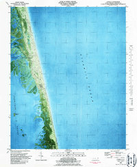
1982 Map of Corolla
USGS Topo · Published 1987About this map
The Currituck Beach Lighthouse stands as a sentinel on this barrier island landscape, where the shifting sands of the Outer Banks meet the Atlantic Ocean. This orthophotomap, based on 1970s aerial photography and 1980 topography, reveals the delicate geography of the narrow peninsula at Corolla. The terrain is defined by its instability and movement, evidenced by labels like Shifting Sand and the high point of Luark Hill.
Find a feature on this map
15 named features on this map. Tap any name to fly to it.
Don’t see what you’re looking for? This feature index may not catch every label — zoom into the map to look around manually.
Map Details
Editions of this 1982 Corolla Map
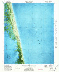
2 editions found
Other maps of this area

1893 · Virginia Beach
USGS Topo · 1:125,000

1916 · Back Bay
USGS Topo · 1:62,500

1940 · Barco
USGS Topo · 1:62,500

1943 · Back Bay
USGS Topo · 1:62,500

1946 · Eastville
USGS Topo · 1:250,000

1946 · Currituck Sound
USGS Topo · 1:250,000
1954 · Knotts Island
USGS Topo · 1:24,000

1961 · Eastville
USGS Topo · 1:250,000

1966 · Eastville
USGS Topo · 1:250,000
1982 · Barco
USGS Topo · 1:24,000