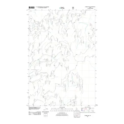
2011 Map of Corral Hill
USGS Topo · Published 2011About this map
The Old Elk City Wagon Rd traverses this section of Idaho County, marking a historic corridor through a landscape defined by an intricate network of drainage systems. At this time in the early 21st century, the map illustrates the persistence of early transit routes alongside modern forestry access like the Natl Forest Develop Road 1107 Rd and China Point Rd. The terrain is dominated by the tributaries of the Clearwater River system, including South Fork Clear Creek and the West Branch South Fork Clear Creek. To the south, the waters of Peasley Creek and its companion, West Fork Peasley Creek, carve through the heights, while smaller named flows such as Doe Creek and Yew Creek indicate the fine-grained hydrography of the region. This survey captures a moment where the legacy of pioneer freighting roads meets contemporary federal land management.
Find a feature on this map
27 named features on this map. Tap any name to fly to it.
Don’t see what you’re looking for? This feature index may not catch every label — zoom into the map to look around manually.
Map Details
Editions of this 2011 Corral Hill Map
This is the sole edition of this map. No revisions or reprints were ever made.
Other maps of this area

1924 · Weippe
USGS Topo · 1:125,000

1931 · Buffalo Hump
USGS Topo · 1:125,000

1934 · Buffalo Hump
USGS Topo · 1:125,000

1956 · Elk City
USGS Topo · 1:250,000

1956 · Hamilton
USGS Topo · 1:250,000

1959 · Hamilton
USGS Topo · 1:250,000

1960 · Elk City
USGS Topo · 1:250,000

1960 · Hamilton
USGS Topo · 1:250,000

1962 · Golden
USGS Topo · 1:24,000

1962 · Pilot Knob
USGS Topo · 1:24,000