
1962 Map of Golden
USGS Topo · Published 1964About this map
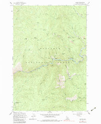
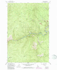
Mining operations and remote settlements define this rugged stretch of the Nez Perce National Forest during the early 1960s. The South Fork Clearwater River serves as the primary corridor for human activity, connecting the small community at Golden to nearby Old Golden and the residential pocket at Tenmile Sch. The landscape is heavily marked by gold-seeking history, with active or recent claims visible through labels like the Buffalo Idaho Mine, Blackbird Mine, and the hydraulic-intensive Meador Diggings. Local transport relies on a network of steep trails and unimproved tracks, such as the Pilot Knob Trail and the Mackey Right Fork Trail, which navigate the high ridges around Nellie Mountain and Reed Mountain. These paths suggest a continuation of prospecting and livestock movement across the high meadows and deep drainages that feeding the Clearwater.
Find a feature on this map
53 named features on this map. Tap any name to fly to it.
Don’t see what you’re looking for? This feature index may not catch every label — zoom into the map to look around manually.
Map Details
Editions of this 1962 Golden Map
3 editions found
Other maps of this area

1931 · Buffalo Hump
USGS Topo · 1:125,000

1934 · Buffalo Hump
USGS Topo · 1:125,000

1956 · Elk City
USGS Topo · 1:250,000

1960 · Elk City
USGS Topo · 1:250,000

1962 · Center Star Mtn
USGS Topo · 1:24,000

1962 · Iron Mtn
USGS Topo · 1:24,000

1962 · Pilot Knob
USGS Topo · 1:24,000

1963 · Sourdough Peak
USGS Topo · 1:24,000

1963 · Huddleson Bluff
USGS Topo · 1:24,000
1963 · Corral Hill
USGS Topo · 1:24,000