
1963 Map of Sourdough Peak
USGS Topo · Published 1964About this map
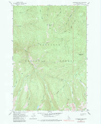
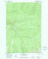
Sourdough Peak and Baking Powder Mountain define the high terrain of this portion of the Nez Perce National Forest during the early 1960s. The landscape is characterized by a dense network of watercourses, including Johns Creek and Kentucky Creek, which carve through prominent landforms like Bull Elk Ridge and Blue Ridge. A single Jeep Trail provides the primary means of overland access across these steep slopes, connecting remote points near Snoose Creek and West Fork Little Wing Creek.
Find a feature on this map
26 named features on this map. Tap any name to fly to it.
Don’t see what you’re looking for? This feature index may not catch every label — zoom into the map to look around manually.
Map Details
Editions of this 1963 Sourdough Peak Map
3 editions found
Other maps of this area

1931 · Buffalo Hump
USGS Topo · 1:125,000

1934 · Buffalo Hump
USGS Topo · 1:125,000

1956 · Elk City
USGS Topo · 1:250,000

1960 · Elk City
USGS Topo · 1:250,000

1962 · Golden
USGS Topo · 1:24,000

1963 · Hanover Mtn.
USGS Topo · 1:24,000

1963 · Huddleson Bluff
USGS Topo · 1:24,000

1963 · Marble Butte
USGS Topo · 1:24,000
1963 · Hungry Ridge
USGS Topo · 1:24,000
1963 · Sawyer Ridge
USGS Topo · 1:24,000