
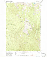
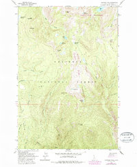
1963 Map of Hanover Mtn.
USGS Topo · Published 1965About this map
Nez Perce National Forest defines this high-elevation Idaho landscape, centered on the heights of Gospel Peak and the drainage systems of the Wind River. In the early 1960s, the area remained largely roadless, accessible via a Jeep Trail that snakes toward Moores Station and Moores Spring. The terrain is characterized by numerous glacial cirques and high-altitude lakes such as Slate Lake, Indigo Lake, and Emerald Lake, which feed the steep canyons of Hanover Creek and Little Boulder Creek. A specific human footprint is visible at the Hanover Mtn Cabin, situated near Hanover Mtn itself. This period of the forest's history reflects a quiet era of management and recreation before modern infrastructure expanded, where landmarks like Umbrella Butte and Rock Creek Point served as primary navigational beacons for those moving through the basin.
Find a feature on this map
34 named features on this map. Tap any name to fly to it.
Don’t see what you’re looking for? This feature index may not catch every label — zoom into the map to look around manually.
Map Details
Editions of this 1963 Hanover Mtn. Map
3 editions found
Other maps of this area

1931 · Buffalo Hump
USGS Topo · 1:125,000

1934 · Buffalo Hump
USGS Topo · 1:125,000

1938 · Riggins
USGS Topo · 1:96,000

1945 · Riggins
USGS Topo · 1:125,000

1955 · Grangeville
USGS Topo · 1:250,000

1956 · Burgdorf
USGS Topo · 1:62,500

1956 · Elk City
USGS Topo · 1:250,000

1959 · Grangeville
USGS Topo · 1:250,000

1960 · Elk City
USGS Topo · 1:250,000

1963 · Sourdough Peak
USGS Topo · 1:24,000