
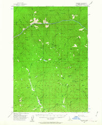
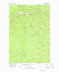
1956 Map of Burgdorf
USGS Topo · Published 1957About this map
The settlement of Burgdorf anchors this mid-century look at the remote mining and timber landscapes along the border of the Nezperce National Forest and Payette National Forest. This region is defined by deep drainage basins and significant elevation changes, with the northern edge dominated by the Salmon River and its numerous tributaries like Wind River and Sheep Creek. The interior terrain is peppered with hard-rock mining operations, including the Golden Anchor Mine, Bullion Mine, and Sherman-Howe Mine, which were instrumental in the local economy during the late 19th and early 20th centuries. High-altitude landmarks such as War Eagle Mtn and Bear Pete Mtn, both featuring lookout stations, provided vital survey points for the forest service. Historic habitations like Hackett Cabin and Wallis Cabin reflect the early ranching and prospecting life that preceded modern forestry management in this part of Idaho.
Find a feature on this map
106 named features on this map. Tap any name to fly to it.
Don’t see what you’re looking for? This feature index may not catch every label — zoom into the map to look around manually.
Map Details
Editions of this 1956 Burgdorf Map
3 editions found
Other maps of this area

1931 · Buffalo Hump
USGS Topo · 1:125,000

1934 · Buffalo Hump
USGS Topo · 1:125,000

1938 · Riggins
USGS Topo · 1:96,000

1945 · Riggins
USGS Topo · 1:125,000

1955 · Grangeville
USGS Topo · 1:250,000

1956 · Warren
USGS Topo · 1:62,500

1956 · Elk City
USGS Topo · 1:250,000

1959 · Grangeville
USGS Topo · 1:250,000

1960 · Elk City
USGS Topo · 1:250,000

1963 · Hanover Mtn.
USGS Topo · 1:24,000