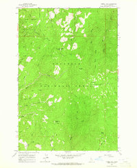
1963 Map of Corral Hill
USGS Topo · Published 1965About this map
Nezperce National Forest defines this high-elevation Idaho landscape, where historic transportation routes intersect with a complex network of drainages in the early 1960s. The presence of the Old Elk City Stage Road and the Elk City Stage Road tracing the ridgelines highlights the historical importance of this corridor for regional travel and freight. These routes follow the natural topography between significant landmarks such as China Point and Corral Hill, the latter of which features a prominent Lookout Tower used for fire surveillance.
Find a feature on this map
37 named features on this map. Tap any name to fly to it.
Don’t see what you’re looking for? This feature index may not catch every label — zoom into the map to look around manually.
Map Details
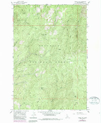
Editions of this 1963 Corral Hill Map
2 editions found
Other maps of this area

1924 · Weippe
USGS Topo · 1:125,000

1931 · Buffalo Hump
USGS Topo · 1:125,000

1934 · Buffalo Hump
USGS Topo · 1:125,000

1956 · Elk City
USGS Topo · 1:250,000

1956 · Hamilton
USGS Topo · 1:250,000

1959 · Hamilton
USGS Topo · 1:250,000

1960 · Elk City
USGS Topo · 1:250,000

1960 · Hamilton
USGS Topo · 1:250,000

1962 · Golden
USGS Topo · 1:24,000

1962 · Pilot Knob
USGS Topo · 1:24,000