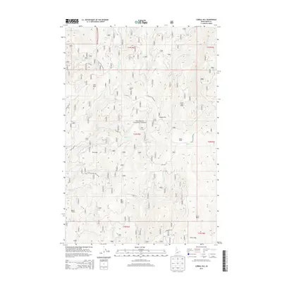
2013 Map of Corral Hill
USGS Topo · Published 2013About this map
Old Elk City Wagon Rd traces a historical path through this high-elevation section of the Nez Perce National Forest, marking a landscape defined by significant ridges and creek drainages. The area is anchored by prominent high points including Corral Hill, China Point, and Big Burn Point, which offer clear views across the watersheds of S Fork Clear Cr and Peasley Cr. The network of forest roads, such as Sears Creek Rd and Alder Creek Rd, follows the difficult topography, providing access to remote locations like Tenmile Flat and Yew Ridge. This region, heavily timbered and carved by numerous watercourses like Meadow Cr and Storm Cr, reflects the historical importance of wagon routes and forestry in Idaho's backcountry. Genealogists and historians can use these records to trace the exact movement of early travelers and the geographic isolation that shaped local development.
Find a feature on this map
41 named features on this map. Tap any name to fly to it.
Don’t see what you’re looking for? This feature index may not catch every label — zoom into the map to look around manually.
Map Details
Editions of this 2013 Corral Hill Map
This is the sole edition of this map. No revisions or reprints were ever made.
Other maps of this area

1924 · Weippe
USGS Topo · 1:125,000

1931 · Buffalo Hump
USGS Topo · 1:125,000

1934 · Buffalo Hump
USGS Topo · 1:125,000

1956 · Elk City
USGS Topo · 1:250,000

1956 · Hamilton
USGS Topo · 1:250,000

1959 · Hamilton
USGS Topo · 1:250,000

1960 · Elk City
USGS Topo · 1:250,000

1960 · Hamilton
USGS Topo · 1:250,000

1962 · Golden
USGS Topo · 1:24,000

1962 · Pilot Knob
USGS Topo · 1:24,000