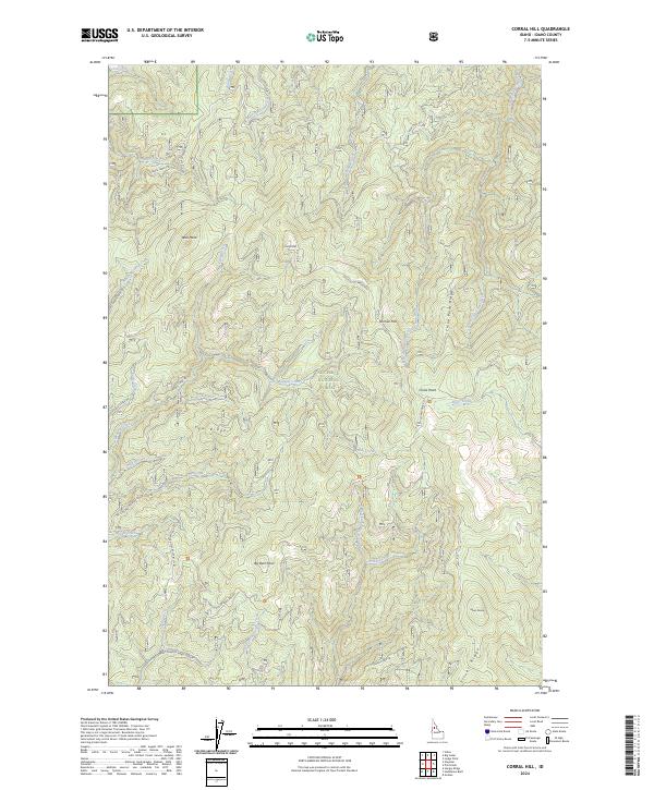
2024 Map of Corral Hill
USGS Topo · Published 2024About this map
The Nez Perce National Forest defines this high-elevation landscape, where the Old Elk City Wagon Rd winds across the northern ridges. This historic transit corridor, alongside Sears Creek Rd and the Alder Creek Rd, provides a clear view of the complex drainage networks that feed into the South Fork Clear Creek. The terrain is characterized by prominent high points and flats, including Corral Hill, Tenmile Flat, and China Point.
Find a feature on this map
64 named features on this map. Tap any name to fly to it.
Don’t see what you’re looking for? This feature index may not catch every label — zoom into the map to look around manually.
Map Details
Editions of this 2024 Corral Hill Map
This is the sole edition of this map. No revisions or reprints were ever made.
Other maps of this area

1924 · Weippe
USGS Topo · 1:125,000

1931 · Buffalo Hump
USGS Topo · 1:125,000

1934 · Buffalo Hump
USGS Topo · 1:125,000

1956 · Elk City
USGS Topo · 1:250,000

1956 · Hamilton
USGS Topo · 1:250,000

1959 · Hamilton
USGS Topo · 1:250,000

1960 · Elk City
USGS Topo · 1:250,000

1960 · Hamilton
USGS Topo · 1:250,000

1962 · Golden
USGS Topo · 1:24,000

1962 · Pilot Knob
USGS Topo · 1:24,000